
INTRODUCTION A LA FORTIFICATION.
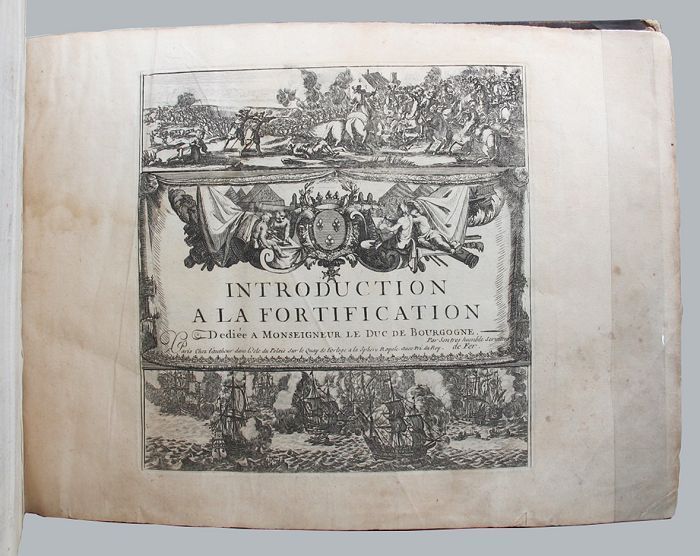
188 engraved leaves printed on rectos only, comprising the 167 plates (2 folding) listed in the table of contents, plus 5 plates not listed or numbered, 9 plates numbered in French, the pictorial title page (naval and land battle scenes), and 6 leaves of explanatory text for the first few plates, plus a folding table of distances, and a table of contents (listing plates numbered 21-189, as issued); oblong 4to; early calf, the spine with gilt lettered red leather title label and gilt decorated compartments between raised bands, the boards rubbed, with a few small surface grazes, edges worn, the leather lifting along fore-edge of upper board (especially at bottom fore-corner), small piece torn from head of spine, the upper joint starting at extremities; inked ownership inscription near the bookplate of Alec Hill on the upper pastedown, earlier small inked ownership inscription on upper free endpaper, pencilled annotation at head of last leaf, most plates neatly numbered in an early hand, one plate (Paris) loose, some damp stains (occasionally large, mostly to margins, with a few encroaching onto plate surface), several small edge chips and splits, occasional slight creasing, scattered light foxing and soiling; chez l'auteur, Paris, [1695]. First edition. *From the collection of Australian military historian and academic Alec Hill (1916-2008). Nicolas de Fer (1646-1720) inherited his father's cartography business, which he developed into a flourishing enterprise, producing town plans, atlases, and over 600 sheet maps, and becoming one of the most prolific cartographic publishers of his era. In 1690 he was appointed official geographer to the Dauphin (the heir to the French throne), and when Louis XIV's grandson, the Duke of Anjou, acceded to the Spanish throne, de Fer was proclaimed Geographer of the King of Spain as well. De Fer made maps of places throughout Europe and in North America, including one in 1698 depicting beavers building dams near Niagara Falls. Introduction a la Fortification was issued in parts between 1690 and 1695, then re-issued in 1705, with the maps re-dated accordingly. Maps in this copy are dated from 1692 to 1695, with several undated. They depict fortified towns in France, the Low Countries, Germany, Italy, Spain and around the Mediterranean. The extra plates in this copy are Chartres, Nouveau Canal, Echelle, Quebec and Batavia. The intricate folding Table Geografique enables the reader to calculate journey distances from Paris to all the principal towns in Europe. Item #129558
Price: $10,000.00