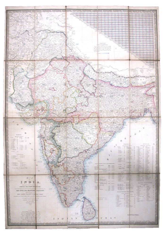
MAP OF INDIA.
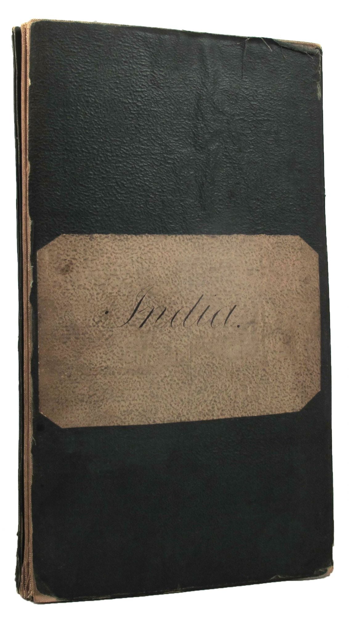
Constructed with Great Care and Research from all the Latest Authorities and Intended More Particularly to Facilitate a Reference to the Civil and Military Stations. . . . Arranged under the direction of Captain R. M. Grindlay, by James Wyld. Geographer to the Queen 1840. This Map will serve to illustrate the Dispatches of the Duke of Wellington. Large engraved folding map, hand-coloured in outline, dissected into 20 sections, laid on linen; 98.5 cm x 68.5 cm, folded size 25 cm x 14 cm; green cloth over stiff paper cover, lettered in ink on blank cream paper label, edges worn and lightly frayed; linen a little browned, worn and soiled, some minor splits in folds; Sold by G. Cruchley, London, 1840. *The map includes east and north-east Afghanistan. It also includes table of distances, table of the area and population of Hindoostan, and distances to civil and military stations. Item #162415
Price: $1,500.00